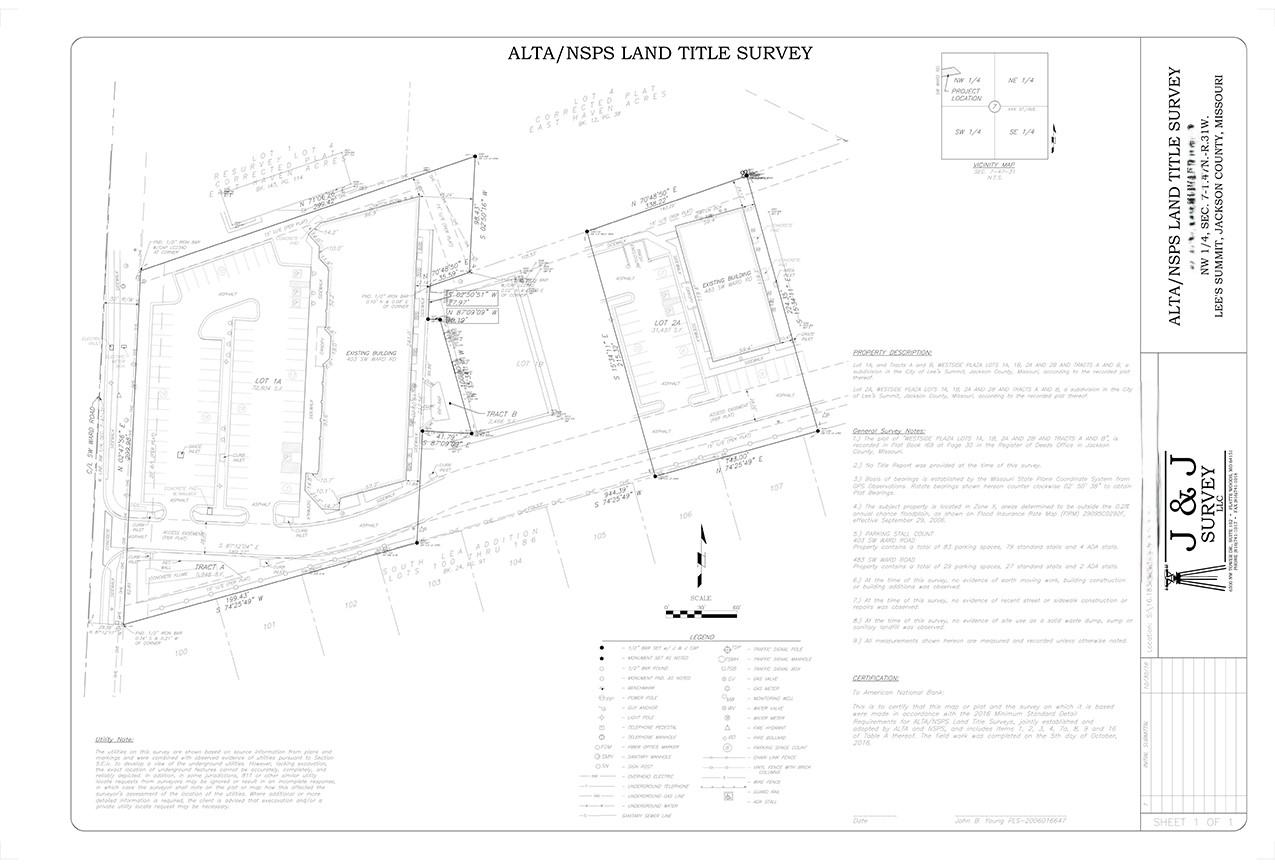
ALTA/NSPS Land Title Survey
Mostly used for commercial and industrial properties, the ALTA/NSPS Land Title Survey is the most comprehensive type of land survey. It encompasses all areas of the boundary survey, improvement location and identification of any additional use or possession. These surveys are ideal for using a drone.
The aerial imaging from the drone eliminates a lot of “Traversing” around the property. Traversing is the movement and Triangulation of survey control points. Each setup usually takes about 15-30 minutes to complete as its own, without collecting any survey data. The Drone can eliminate up to 2 hours of lost time Traversing and it will also reproduce linework in a more timely manner. This can help save 10-25+ hours of data collection.