LAND SURVEY FAQ’S
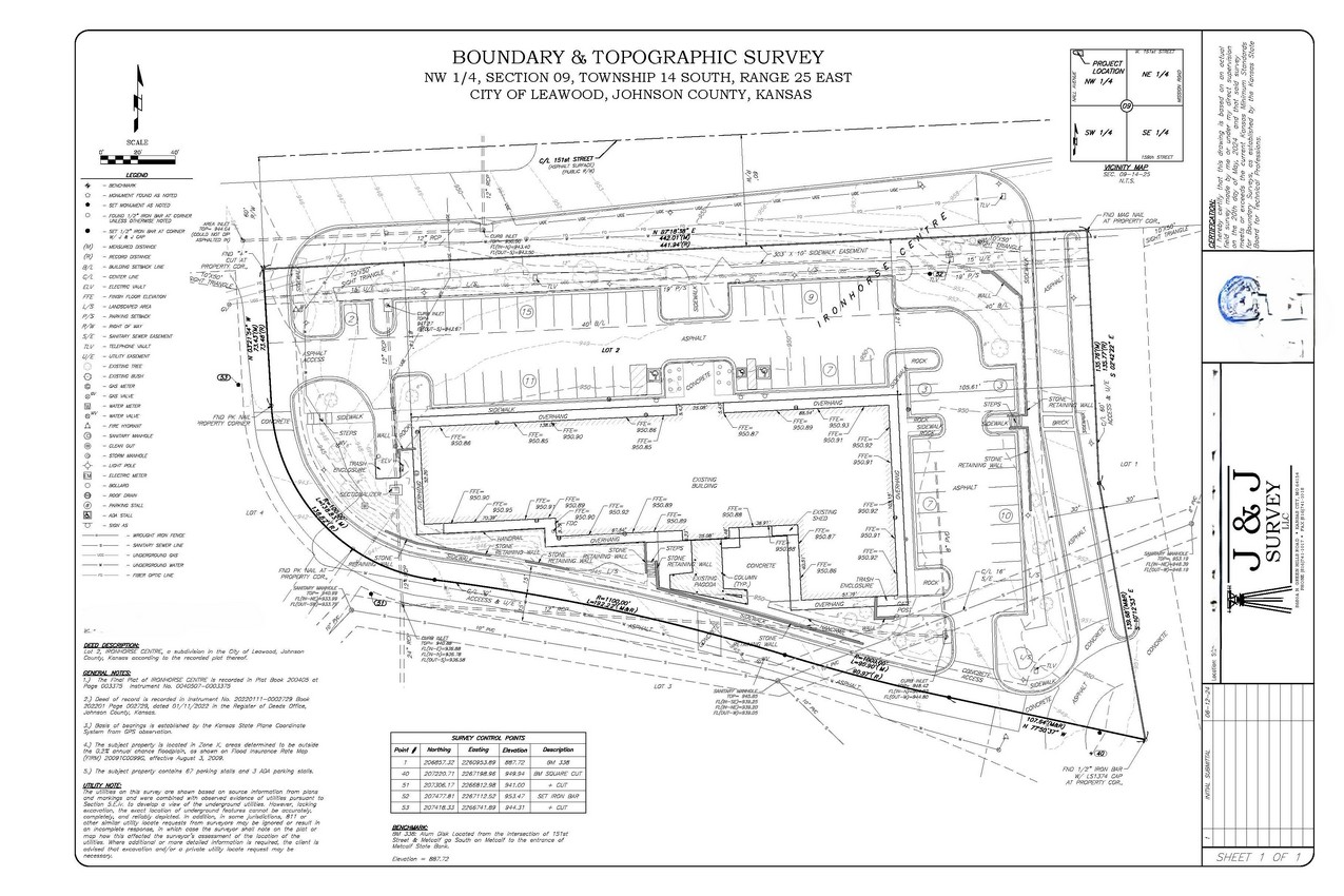
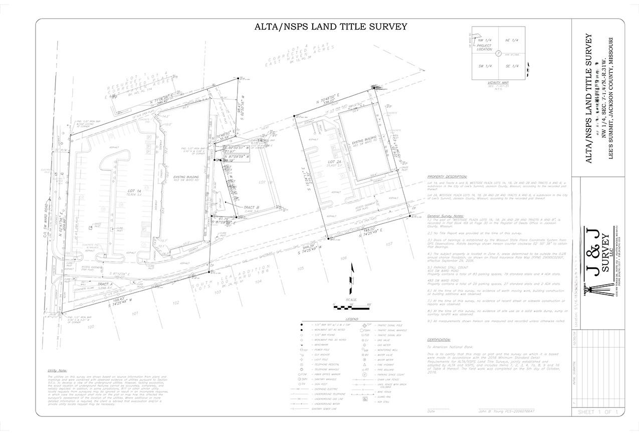
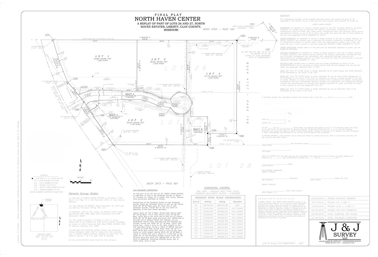
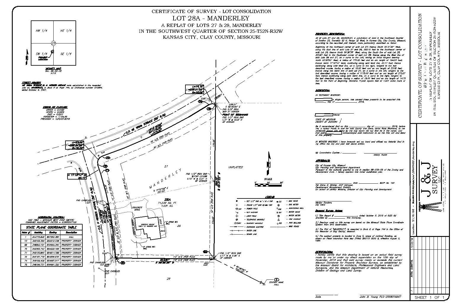
What is a Plat?
According to Wikipedia: https://en.wikipedia.org/wiki/Plat
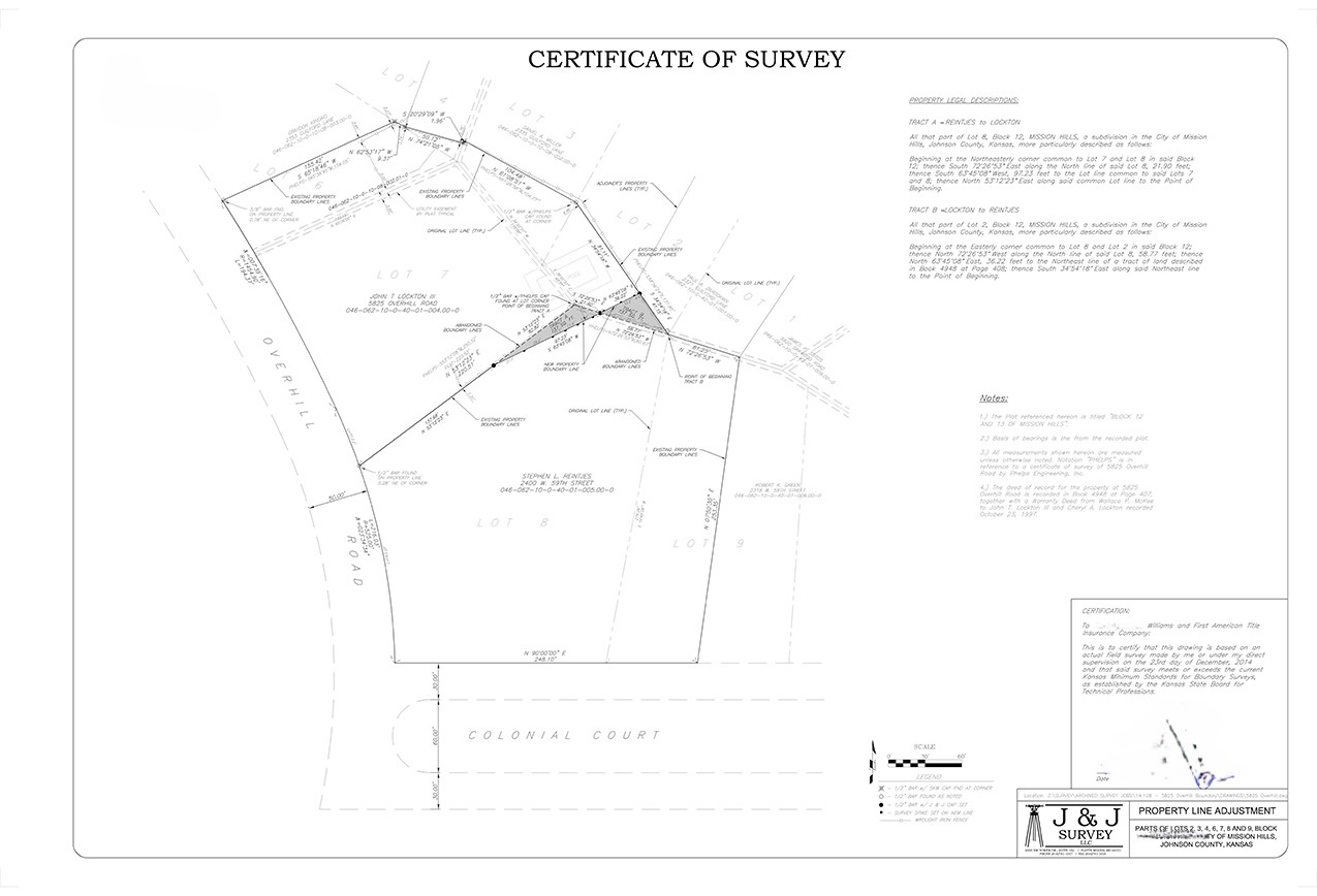
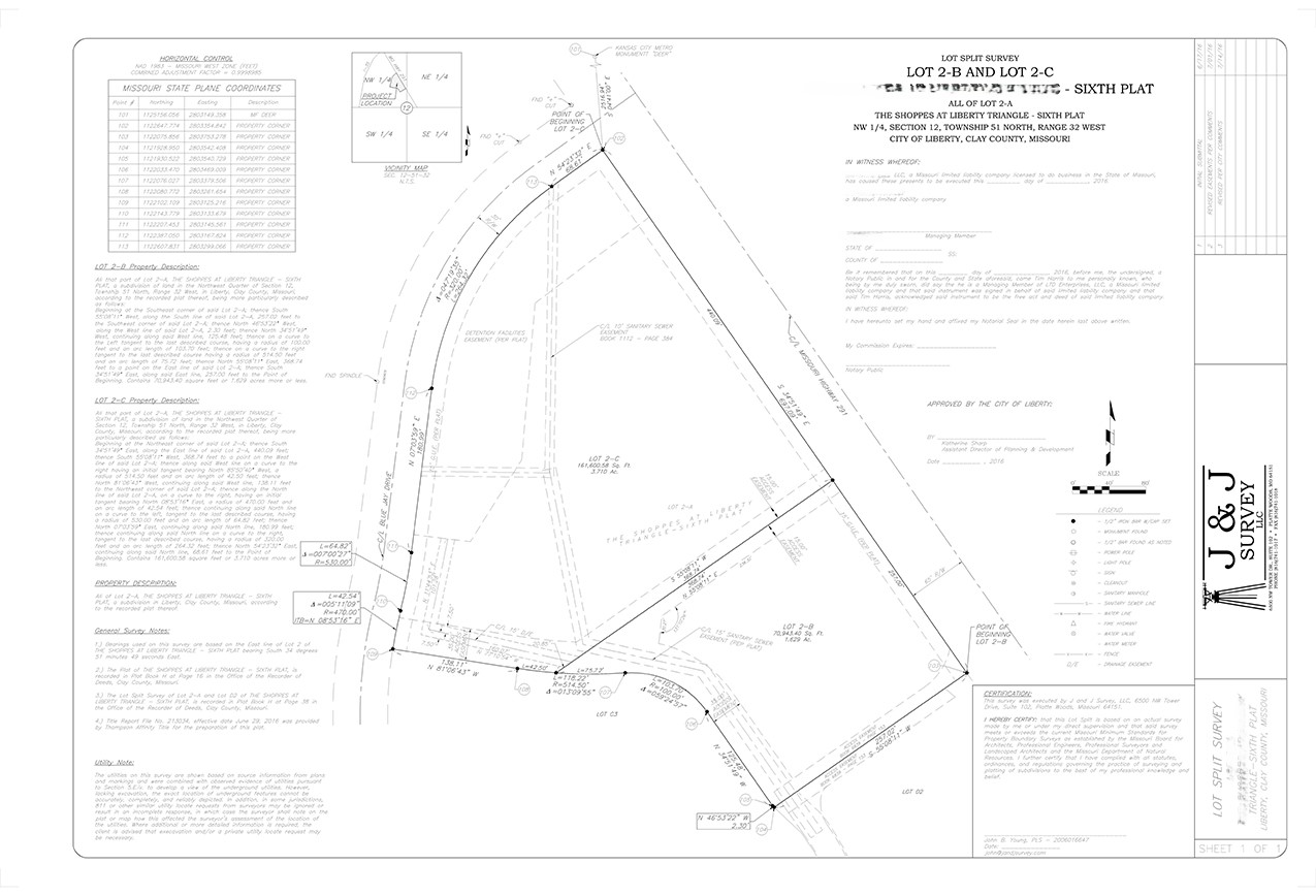
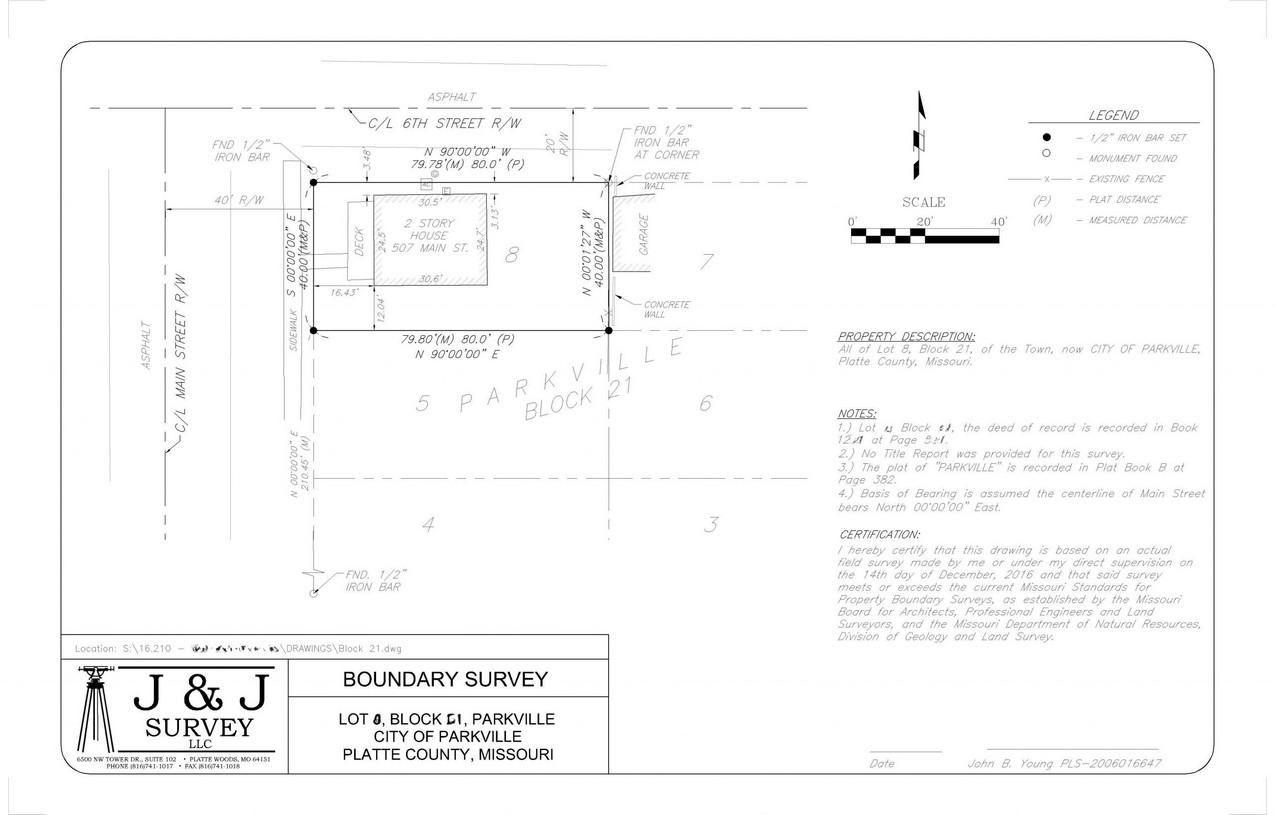
“A plat (/ˈplæt/[1] or /ˈplɑːt/)[2] in the United States (plan or cadastral map) is a map, drawn to scale, showing the divisions of a piece of land. United States General Land Office surveyors drafted township plats of Public Lands Surveys to show the distance and bearing between section corners, sometimes including topographic or vegetation information. City, town or village plats show subdivisions into blocks with streets and alleys. Further refinement often splits blocks into individual lots, usually for the purpose of selling the described lots; this has become known as subdivision.
After the filing of a plat, legal descriptions can refer to block and lot-numbers rather than portions of sections.[3] In order for plats to become legally valid, a local governing body, such as a public works department, urban planning commission, or zoning board must normally review and approve them.”/
What is a Parcel of Land?
According to Reference.com: https://www.reference.com/science/parcel-land
Parcel of Land is a defined area of land that is owned. Parcels of land also can be referred to as tracts or lots of land. Parcels are measured and sold in terms of acres and square feet.
The word “parcel” is derived from the Middle French word parcelle.
What defines a Land Survey?
According to Wikipedia: https://en.wikipedia.org/wiki/Surveying
Surveying or land surveying is the technique, profession, and science of determining the terrestrial or three-dimensional position of points and the distances and angles between them. A land surveying professional is called a land surveyor. These points are usually on the surface of the Earth, and they are often used to establish land maps and boundaries for ownership, locations like building corners or the surface location of subsurface features, or other purposes required by government or civil law, such as property sales.
Surveyors work with elements of geometry, trigonometry, regression analysis, physics, engineering, metrology, programming languages and the law. They use equipment like total stations, robotic total stations, GPS receivers, retroreflectors, 3D scanners, radios, handheld tablets, digital levels, drones, GIS and surveying software.
Surveying has been an element in the development of the human environment since the beginning of recorded history. The planning and execution of most forms of construction require it. It is also used in transport, communications, mapping, and the definition of legal boundaries for land ownership. It is an important tool for research in many other scientific disciplines.
J & J Survey, LLC
8680A N. Green Hills Rd
Kansas City, MO 64154
Call (816) 741-1017
